
Find Delaware County Neighbors by Block
Public sources can describe the parcels around an address, their recorded land history, and a dated historical setting. They cannot create a complete list of nearby households. Start with the county address result, then treat each adjacent parcel as a separate record. A nearby parcel owner may be a recorded party or a correspondence contact, not a present resident. That distinction keeps a neighbor search focused on evidence instead of assumptions.
| Block source | What it shows around an address | Access and limit |
|---|---|---|
| County parcel and tax system | Individual parcel, owner, building, folio, and map information | Address-led search; it is not a renter or household list. |
| Recorder deed and plan index | Recorded party, lot, legal description, transfer date, and document path | Cloud Search, legacy service, or counter; a party is not necessarily an occupant. |
| Municipal map and local office | Jurisdiction plus local zoning, permit, and code route | Current local records belong with the actual municipality. |
| Historic atlas, Sanborn, or aerial map | Lots, street grid, building footprint, and change over time | Maps do not name all people on a block. |
| Historic directory or census image | Dated listed-household clues near an address | Use as a historical snapshot, not a current block list. |
| Regulated voter product | Election-record fields authorized through the request process | Statutory purpose, signature, and publication limits apply. |
Use a source that matches the question. A map can explain adjacency, a deed can explain a transfer, and a directory can support a historical listing. None of those alone proves that every person associated with a nearby address is your neighbor now.
Map a Delaware County Subject Parcel
The county property system is address-led. Its verified Number and Street fields allow the address to be matched to a property record, and the search instructions say to enter a street name without its suffix. The county removed name searching and property photographs for privacy. Once a result identifies the subject parcel, retain the Parcel ID, TaxMap ID, situs address, legal description, and the date the result was checked. A situs address identifies the land location, while a legal description identifies the land in a recorded document.
- Find the subject address through the Real Estate Parcels & Tax Records System and record its returned parcel identifiers.
- Open the county parcel map, select the subject parcel, and use Identify or Selection Manager to understand the result.
- Choose a narrow spatial method for nearby land, such as touching polygons or a defined buffer. Record whether the map used a point, box, polygon, line, freehand, or buffer selection.
- Open every selected parcel separately. Preserve only the displayed parcel relationship needed for the question.
- Use each parcel identifier in the Recorder index if a recorded-document question remains. Do not turn the selected set into a people list.
The map has point, box, polygon, line, freehand, and buffer controls, and it caps a selection at 1,000 parcels. A broad selection is therefore not a complete neighborhood result. Narrow the block and retain the actual selection method.
Delaware County Neighbors and Parcel Deeds
For each nearby parcel, Recorder Cloud Search accepts the Parcel ID in the dashed form xx-xx-xxxxx-xx. The Quick Search can use a search term and an optional recorded-date range. Its Advanced Search can narrow by party role, document number, instrument date, document type, volume/book/page, municipality, or full-document OCR. An index-only result searches recorded index fields; an OCR result searches document text and should be checked against the image.
A reliable block note identifies the subject parcel, map date, selected adjacent parcel IDs, and exact document date. In a deed result, retain the grantor or grantee role, document number, legal description, and recording date. Those fields describe a recorded land relationship. They do not establish a complete household or give permission to contact someone.
For the address-by-address sequence along a longer named road, use the Delaware County street directory. The immediate-block method is intentionally narrower: it maps selected parcels first and checks records parcel by parcel.
Delaware County Parcel Owners Are Not a Neighbor List
The county property portal can return and sort owner-related property data after an address-led search, even though it removed name searching and property photographs for privacy. That makes an address-to-parcel inquiry useful for a limited property question. It does not turn the owner field into proof of current household membership. One parcel can contain more than one structure or unit, and one nearby home can involve people who have no role in a recorded transfer.
Keep three descriptions apart: the situs address is the physical land location; the legal description is the recorded identity of the parcel; and a recorded party is a person named in an instrument. Postal city labels and ZIP codes are delivery geography, not proof of the municipality that holds a local file. This distinction is the reason a block search should begin with the subject parcel and the confirmed municipality, not a broad name query.
Delaware County Blocks Cross Municipal Lines
Delaware County is divided among 49 municipalities, so a postal city name does not settle the local records office for a block. The county Municipalities directory is the routing tool for the confirmed address. County Planning's zoning application can orient a parcel, but the county says a municipality has the current zoning maps and ordinances. Ask the borough, township, or City of Chester office about local permits, code files, inspections, or a municipal records request.
This matters near an edge or where a street runs through a changed boundary. A map label can be useful context, but the parcel's municipality is the better guide to the local custodian. County open-records procedures cover county-held material, not every municipality's records. For a local request, use that municipality's designated open-records officer and identify the address, parcel ID, date span, and record type.
Historic Delaware County Neighbors on Maps
A historic block needs a date before it needs a name. County Planning and the Archives hold maps that can show street layout, lots, building footprints, and changes across time. The listed holdings include 1870 and 1875 county atlases, the 1882 railroad atlas, 1902 Baist, 1909 and 1913 Mueller atlases, 1920s Sanborn updates, later mapping, and Chester Sanborn volumes from 1965 to 1985. Compare the historic map with the parcel legal description and directory year before treating two similar addresses as the same place.
Delaware County's historic-maps page describes the atlas, Sanborn, and aerial-map research routes for a block over time.
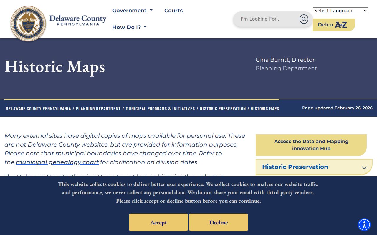
The historic-map inventory is useful for context, not for publishing a modern neighbor list. Pair a map with a dated directory, census image, newspaper, or original deed only when the source dates align. Changed municipal lines, lot splits, apartments, and revised house numbers can all interrupt an address trail.
Delaware County Neighbor Civic Contacts
No official countywide neighborhood-association or homeowner roster was verified. The safe public route is to identify the municipality, then use public government or organization channels for meeting and contact information. A named public body does not make its private membership record public. That is especially important when trying to learn about block activities without turning a civic contact into a resident directory.
| Public civic route | What the source supports | Boundary |
|---|---|---|
| County Municipalities directory | Find the local government and its public contact path. | It does not supply a neighborhood member list. |
| County Planning | Parcel, municipal zoning, and regulatory routing guidance. | Planning can orient a request; the municipality maintains current local records. |
| City of Chester Boards | Public information about the Block Captain Committee and board appointments. | The page is not a block-captain or resident-member directory. |
County Planning can be reached for parcel or regulatory guidance at 610-891-5200. Chester's public City Directory separately lists its Public Affairs, Parks and Recreation, Police, and Planning and Licenses contacts. Use the public channel for a civic question and do not presume that a community group has a public roster.
Delaware County Voter Lists Are Controlled
Pennsylvania does not provide a public street browser through the identity-matched voter-registration status tool. Delaware County links voters to the official status, registration, ballot-status, polling-place, precinct, and election resources, while the county's party-affiliation heat map is aggregate by municipality. It is not a list of neighbors. The research inspection also encountered anti-bot protection on the direct status form, so its live field labels should not be treated as a general block-search interface.
Election Code §§ 1207 and 1404, 25 Pa.C.S. §§ 1207 and 1404, govern inspection and voter-list products. The request form describes a Street List and Walking List, but requires identification, a signature, and a use affirmation. It also carries restrictions on improper use and internet publication. Ask Voter Registration about the authorized route rather than copying address information from a map or treating a nonmatch as proof about a person.
Note: Voter history reflects participation in elections, not a ballot choice, and protected addresses can override ordinary record access.
Compare Delaware County Neighbor Sources
A block search is stronger when the source and its limit are visible. Official records and commercial neighbor-search products are not interchangeable categories. The first is tied to a named custodian, record date, and access route. The second can aggregate stale or mismatched information without showing how a person was linked to a place.
| Question | Official parcel and records route | Commercial neighbor-tool category |
|---|---|---|
| Why is an address associated with a parcel? | County property result and mapped parcel identifiers provide the documented connection. | May omit parcel context or merge similar addresses. |
| Who was named in a transfer? | Recorder index supplies the party role, document number, and record date. | May not distinguish a recorded party from a current household member. |
| How did the block look in a past year? | Atlas, Sanborn, directory, census, or newspaper can be cited by date. | Often lacks a clear original source or date. |
The useful comparison is not speed. It is whether a reader can return to the custodian, inspect the original record, and state exactly what the source actually establishes.
Delaware County Neighbor Privacy Limits
Many details do not belong in a block lookup: unlisted household members, protected voter or Address Confidentiality Program addresses, motor-vehicle and utility data, delivery information, juvenile matters, sealed court records, and nonpublic organization membership. Pennsylvania's Address Confidentiality Program, 23 Pa.C.S. §§ 6701 et seq., offers eligible participants a substitute address for specified government and court records. A public parcel or deed index does not erase those boundaries.
If an official record contains a clerical error or a protected detail, contact the original custodian. The Recorder handles recorded-document questions, the court filing office handles court records, and Voter Registration handles election data. A commercial display can have its own provider-specific removal procedure, but suppressing that display does not correct the original government record. Do not post ID documents, signatures, full birth dates, or addresses supplied for safety while seeking a correction.