
Delaware County ZIP Coverage
The live county ZIP GIS service identifies 44 distinct five-digit ZIP labels in Delaware County. Its field called NAME is a postal-place label, not proof that a ZIP equals a municipality, post-office station, delivery route, or legal jurisdiction. The coverage table keeps that limitation visible. Use an individual address, not a row in this table, to verify mail delivery. County property and mapping tools then determine the parcel and local-government context needed for a tax, deed, zoning, or records question.
| ZIP | County GIS postal place | Area cue | Record-search note |
|---|---|---|---|
| 19003 | Ardmore | Cross-county Main Line geography | Verify parcel municipality |
| 19008 | Broomall | Postal label may serve multiple local places | Use parcel result for jurisdiction |
| 19010 | Bryn Mawr | Northern boundary area | Check county and municipality |
| 19013 | Chester | City of Chester core label | Postal label is not a person list |
| 19014 | Aston | Eastern and central county area | Verify exact address |
| 19015 | Brookhaven | Borough-area label | Confirm local custodian |
| 19018 | Clifton Heights | Borough-area label | Use full delivery address |
| 19022 | Crum Lynne | Local postal label | Confirm parcel geography |
| 19023 | Darby | Borough and nearby postal area | Do not assume borough boundary |
| 19026 | Drexel Hill | Upper Darby area | Verify municipality first |
| 19029 | Essington | Tinicum area | Check address in USPS |
| 19032 | Folcroft | Borough-area label | Confirm exact parcel |
| 19033 | Folsom | Ridley area | Confirm exact parcel |
| 19036 | Glenolden | Borough-area label | Use municipality directory |
| 19041 | Haverford | Main Line and township area | Postal and municipal names differ |
| 19043 | Holmes | Ridley area | Verify local jurisdiction |
| 19050 | Lansdowne | Borough-area label | Confirm full address |
| 19060 | Garnet Valley | Bethel and Concord area | Use parcel route |
| 19061 | Marcus Hook | Borough and Lower Chichester area | Check municipality |
| 19063 | Media | County-seat postal label | Not proof of Media Borough |
| 19064 | Springfield | Township-area label | Verify local custodian |
| 19070 | Morton | Borough-area label | Confirm parcel municipality |
| 19073 | Newtown Square | Township-area label | Use exact address |
| 19074 | Norwood | Borough-area label | Confirm full address |
| 19076 | Prospect Park | Borough-area label | Verify jurisdiction |
| 19078 | Ridley Park | Borough-area label | Verify jurisdiction |
| 19079 | Sharon Hill | Borough-area label | Verify jurisdiction |
| 19081 | Swarthmore | Borough and college area | Confirm parcel context |
| 19082 | Upper Darby | Township-area label | Use full address |
| 19083 | Havertown | Haverford area | Postal name is not municipality proof |
| 19085 | Villanova | Northern boundary and Main Line | Check county and municipality |
| 19086 | Wallingford | Nether Providence area | Verify local custodian |
| 19087 | Wayne | Radnor and cross-county area | Confirm parcel county |
| 19094 | Woodlyn | Ridley area | Verify exact address |
| 19096 | Wynnewood | Northern boundary and Main Line | Confirm parcel municipality |
| 19113 | Philadelphia | County-map boundary area | Do not assume Philadelphia jurisdiction |
| 19153 | Philadelphia | County-map boundary area | Do not assume Philadelphia jurisdiction |
| 19312 | Berwyn | Western and northern boundary area | Check county and municipality |
| 19317 | Chadds Ford | Western county area | Use parcel context |
| 19319 | Cheyney | Western boundary area | Duplicate GIS feature, one distinct ZIP |
| 19333 | Devon | Western and northern boundary area | Confirm local jurisdiction |
| 19342 | Glen Mills | Western county area | Use exact address |
| 19373 | Thornton | Current GIS label | Verify a delivery address with USPS |
| 19382 | West Chester | Western boundary and cross-county area | Do not assume Chester County |
The Delaware County coverage list provides orientation across all 49 municipalities. It cannot establish current household membership, property ownership, or the office that holds a particular record. For those questions, move from ZIP to a validated address, parcel, and municipality.
Delaware County Postal GIS Count
The Delaware County live ZIP feature service returns 45 feature rows but only 44 distinct ZIPs because Cheyney 19319 appears as two polygons. That is a useful mapping caution: a feature count and a ZIP count are not always the same measure. The service is an official county geography layer, and it is suitable for seeing where a postal area lies in relation to the county. It is not a parcel-owner layer and does not provide a ZIP-wide list of residents.
Delaware County’s ZIP-boundary GIS dataset identifies the official layer used for the countywide postal geography.
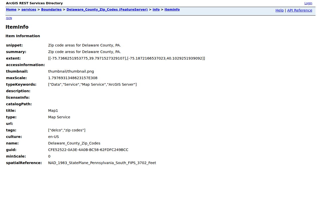
The duplicate Cheyney feature should remain visible when checking map totals, while an address-specific mail question still requires an address lookup. The county’s static ZIP map is a useful visual companion, but the live GIS service is the stated current county layer.
Verify a Delaware County ZIP
Verify delivery geography before treating a postal label as a records location. The sequence is simple: use USPS to validate the full address and five-digit ZIP, use Delaware County property or mapping information to identify the parcel and situs address, then use the county’s municipal directory to identify the borough, township, or City of Chester that handles local matters. Keep those values separately. A situs address is the physical land location in a parcel system. A correspondence address is a delivery field. A legal description is the recorded land identity carried through deeds and plats.
| Verification tool | Input or control | What it establishes | What it does not establish |
|---|---|---|---|
| USPS ZIP Lookup | Full delivery address | Delivery ZIP for that address | Parcel, owner, or municipal records jurisdiction |
| County ZIP GIS layer | ZIP boundary geography | Postal area orientation | Resident or ownership information |
| County property and mapping route | Address or parcel | Parcel and situs context | Every person connected to an address |
Note: Preserve the USPS result, five-digit ZIP, parcel ID, situs address, and municipality as separate facts because they carry different evidence value.
Find Records Within a Delaware County ZIP
A ZIP boundary is a geographic starting point, not a universal record-search filter. The Delaware County property system is address and parcel led. Its verified fields include Number and Street, while its advanced criteria include parcel or address, physical characteristics, sale date or price, tax district, school district, land-use code, and permit flag. The Recorder’s Quick Search supports party, subdivision, document type, document number, parcel, date, and index or OCR scope. Neither tool was verified as a ZIP-wide resident search. Start by locating the individual address inside the ZIP, then use the record system that matches the question.
- Validate the address and ZIP through the USPS route before using a postal label as a geographic filter.
- Confirm the parcel’s situs address and municipality through the county property or mapping route.
- Use the address or parcel ID for the property record, then use the parcel or documented party in Recorder Cloud Search when a deed question is relevant.
- For voter information, use the identity-matched status route or the regulated request process instead of treating a ZIP as a public voter browser.
Once a ZIP has narrowed the area to an actual street, the Delaware County street directory has the address-by-address record sequence. ZIP geography should not be used to infer who lives along the street.
Delaware County ZIP Code Search Limits
The Delaware County parcel system removed name searching and property photos for privacy. Its results may display or sort an owner field after an address-led search, but the portal does not turn a ZIP into a name search. Recorder Cloud Search likewise supports recorded-document fields rather than a verified ZIP filter. The public Pennsylvania voter-status route is identity matched, and regulated voter-list products carry Election Code restrictions. A county ZIP map therefore helps orient a search, but the official records path remains address, parcel, documented party, record number, or the custodian’s permitted request process.
Do not treat a property owner field as a household roster. A mailing address can differ from the physical parcel, and a parcel can have more than one structure or unit. A ZIP-wide result would not resolve those facts even if it existed.
Delaware County ZIP Boundary Mismatches
Postal labels near the county edge show why ZIP geography and government geography must be separated. The county GIS table includes Philadelphia labels for 19113 and 19153 and a West Chester label for 19382. Those labels do not decide whether a given record belongs with Philadelphia, Chester County, or a Delaware County municipality. A Media ZIP also does not prove that the property is in Media Borough. Delaware County has 49 municipalities, and postal, municipal, and county boundaries can diverge.
Historic work needs another check. Municipal boundaries changed as smaller municipalities formed from earlier townships. When an older address does not fit a current ZIP or municipal label, compare the historic municipality, cross street, map or atlas, legal description, and prior owner rather than assuming the ZIP was stable.
Delaware County ZIP Map Discrepancy
Thornton is a local verification example. The current county GIS layer labels Thornton 19373, while a static county map has shown 19346. The research did not identify an official historical realignment date, so the difference should not be resolved by guessing. For a particular delivery address, use USPS. For county records, then use the parcel and municipality information. A map conflict is a cue to verify the address, not a reason to treat either label as universal.
Pennsylvania eMapPA includes a five-digit ZIP locate control for geographic checking.
The state map can help locate a ZIP on a map, but it is not a Delaware County resident search, property record, or municipal-custodian determination.
Delaware County ZIP Code Terms
Postal and property terms answer separate questions. Keeping the terms straight prevents a delivery label from being treated as a land record or a person record.
- ZIP code and ZIP+4
- A five-digit ZIP code identifies a postal area. ZIP+4 adds a more specific delivery segment; neither is a legal land description.
- PO-box ZIP
- A ZIP used for post-office-box delivery. No countywide official inventory of PO-box-only ZIPs was verified in the research.
- Unique ZIP
- A ZIP assigned to one organization or delivery destination. No countywide verified list of unique ZIPs was found.
- Carrier route
- A postal delivery grouping. It is not a municipal boundary or a list of people connected to an address.
- Situs address
- The physical land location used in the parcel system, distinct from a mailing field and from a deed’s legal description.
When the terms conflict in a result, preserve both fields and return to the property, Recorder, or municipal custodian that controls the underlying record.
Delaware County ZIP Evidence Route
Start with the county ZIP map, then rely on the custodian that holds the underlying record. A deed or tax question goes to the parcel and Recorder sequence. A local permit or zoning question goes to the actual borough, township, or City of Chester. A historical address question may need the County Archives, a period atlas, or a directory source. The county’s ZIP layer narrows the map; it does not replace those custodians or turn delivery geography into proof of residence.
The County’s varied geography makes that separation practical. Postal labels can describe a Philadelphia edge area, a Main Line area, a western rural-border area, or a Chester-area address, while the municipal record route follows the verified location. Keep a short record of the checked address, delivery ZIP, parcel ID, municipality, source, and date so later verification remains possible.
Note: For a historic address, add the period map and former municipality name before treating a modern ZIP or street number as a match.