
Delaware County Previous Residents by Era
Different records answer different parts of a past-address question. Land records establish a recorded party and legal property identity. Directories and census images supply dated household clues. Maps test whether an old street, lot, or building configuration still matches the modern address. Estate material and obituaries can help identify a later endpoint. The strongest historical household trail uses these sources in date order rather than treating one search result as a complete account.
| Source | Years it covers | Where held | What it shows |
|---|---|---|---|
| Recorder online land records | Since 1799, per the legacy system | Recorder online systems and Room 108 | Recorded deeds, mortgages, parties, and document path |
| PHMC deed microfilm | 1789 onward; grantor/grantee indexes 1789-1914 | State Archives guide and research room | Early deed-book and index verification |
| County assessments | 1791-1850; 1841-1889; 1890-1903 | County Archives indexes and counter | Land and person continuity by series and date |
| Local and reverse directories | Varies by municipality and title | Historical Society and library resources | Address-to-listed-person or name-to-address clues |
| Federal census | Released through 1940; no 1890 population schedule | NARA, FamilySearch, and library collections | Dated household and nearby-household evidence |
| Historic maps and aerials | County atlas series through 1961; aerials 1937-2023 | County Archives and Planning map resources | Street, lot, building, and change-over-time context |
| Estate and administration indexes | Administrations 1790-1950; wills 1789-1944; estates 1789-1950 | County Archives and later Register of Wills | Estate, decedent, and possible successor research |
Begin with the period that has the most stable identifier. A modern address usually starts with its parcel and current deed. A nineteenth-century question may start with a historic municipality, assessment, map, or deed-book index. A directory entry is valuable in the year it prints, but it should be paired with another source when tracing a historical household.
Note: A dated address listing is historical evidence, not proof of a current household or a complete chain of everyone connected to a property.
Start a Delaware County Previous Residents Trail
The county property sequence begins with an address-led search, not a person-name search. Delaware County’s Real Estate Parcels & Tax Records System uses Number and Street, accepts a wildcard, and asks searchers to enter a street name without its suffix. The county removed name searching and property photographs for privacy. The result can supply a parcel ID, TaxMap ID, property address components, owner field, sale fields, legal-description information, and assessment or tax fields.
Use the returned parcel or TaxMap identity as the bridge to the Recorder. Keep the situs address, which identifies the land’s location, separate from any mailing information and from the legal description. A parcel result records a property relationship. It does not establish every person who lived at the address. Where there are multiple parcels, units, or changed lots, inspect the legal description before merging results into one address-history trail.
The County Planning parcel-information route identifies the county property and mapping tools that lead into this first address check.
Delaware County Previous Residents Deed Chain
A chain of title follows recorded interests, not a presumed personal move. Start with the current acquisition document. Identify the transferring party, then search that party as a grantee to find the earlier acquisition. At each link, compare the parcel and legal description with the next document. A grantor may be a party in a transfer without the deed revealing a later address. Use a later acquisition, dated directory, probate record, or obituary only as a separate follow-on lead.
- Search the property system by the exact number and street, then record the parcel or TaxMap identifier and legal-description clues.
- Find the matching acquisition in the Recorder index by parcel, recorded party, document number, or recorded date.
- Record the parties’ roles, document type, document number, recording date, parcel, and legal description before moving backward.
- Search the prior transferring party as a grantee, then test the earlier deed against the same land identity.
- Repeat only while the legal description and parcel relationship support continuity; use the early-book route when online material is incomplete.
- Grantor
- The party who transfers a recorded interest in a document.
- Grantee
- The party who receives a recorded interest. Searching that party can locate an earlier acquisition.
- Chain of title
- A sequence of recorded transfers connected by the same land identity, not merely a repeating street number.
- Legal description
- The recorded land description used to test continuity when street labels, lot lines, or numbering change.
Recorder copies have different access paths. The legacy online system states that land-record indexes and images cover records since 1799. Cloud Search offers electronic certified copies, while either system can lead to a copy route. The Recorder counter is in Government Center, Room 108, 201 W. Front Street, Media, with office hours 8:30 a.m. to 4:30 p.m. and recording hours ending at 3:30 p.m.
Cloud Search for Earlier Delaware County Records
Recorder Cloud Search is an index tool with two verified search scopes: Index Only and Index & Full Text (OCR). The full-text option can surface text inside a scanned document, but an OCR hit needs image review because it can reflect recognition noise or a non-party mention. Quick Search accepts a Search Term, date range, and a choice of scope. It also accepts a parcel ID only in the dashed form xx-xx-xxxxx-xx.
The Recorder public-access page presents the county’s two official search routes and the free Property Alert option.
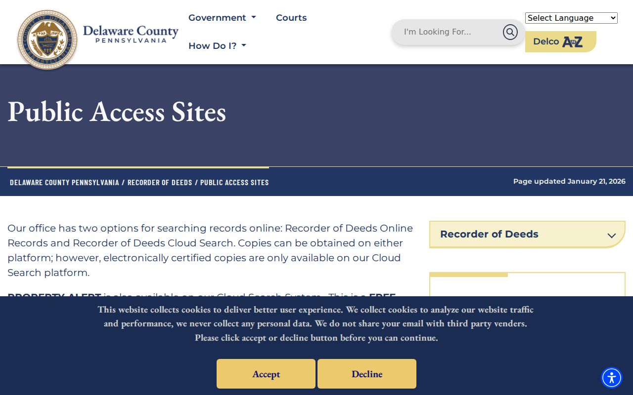
That access screen supports the Recorder route, while the document number, party roles, date, parcel, and legal description remain the details to preserve for an address-history note.
The Recorder Cloud Search interface shows the parcel-format and scope choices used to narrow a recorded-document search.
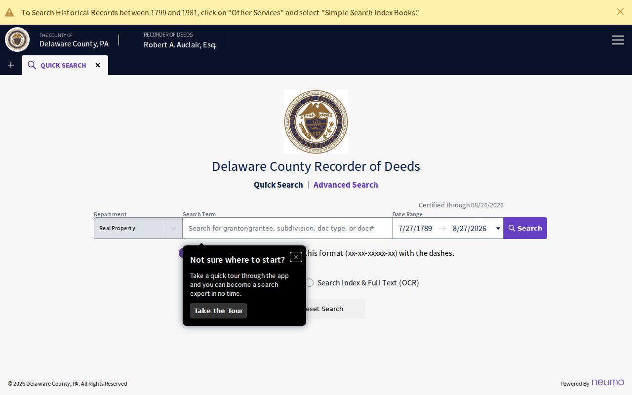
Cloud Search displayed a $0.50 per-page online-copy amount in the inspected configuration, compared with the Recorder’s stated $1 per page at the counter. Check the current fee schedule before ordering, since electronic certified copies and other charges have their own live rates.
Property Alert. A free parcel-ID alert is a prompt to inspect a newly recorded document. It is not proof of fraud or a decision about title.
Early Delaware County Address Records
The web path has an early boundary. The Recorder’s legacy system says its indexes and images reach back to 1799, but Delaware County deed books begin in 1789. The Pennsylvania State Archives microfilm guide lists Volume A for 1789-1793, grantor and grantee deed indexes for 1789-1914, mortgagor indexes for 1789-1912, and mortgage books from 1789. Those reels provide the fallback when the online path or a web image is incomplete.
Delaware County separated from Chester County in 1789. County Planning warns that some PHMC information for the area may appear under Chester County. That jurisdiction change is a local records-history fact, not a reason to assume an address is continuous across the split. Ask the Recorder or State Archives for the relevant early book and index, then check the historical county context before naming a person in an address-history trail.
Historic Maps for Delaware County Previous Residents
Historic maps test a property’s physical continuity. County holdings include the 1870 Hopkins atlas, 1875 Lee atlas, 1882 railroad atlas, 1902 Baist, 1909 and 1913 Mueller atlases, 1920s Sanborns with additions, and maps from 1934, 1942, 1947, and 1961. Chester Sanborn volumes run from 1965 to 1985. The Library of Congress provides a 1919-1925 county Sanborn compilation with 114 sheets. County aerial imagery runs from 2000 to 2025, and PASDA coverage is listed from 1937 to 2023.
The County historic-maps inventory links the atlas, Sanborn, aerial, and archives routes for this evidence layer.
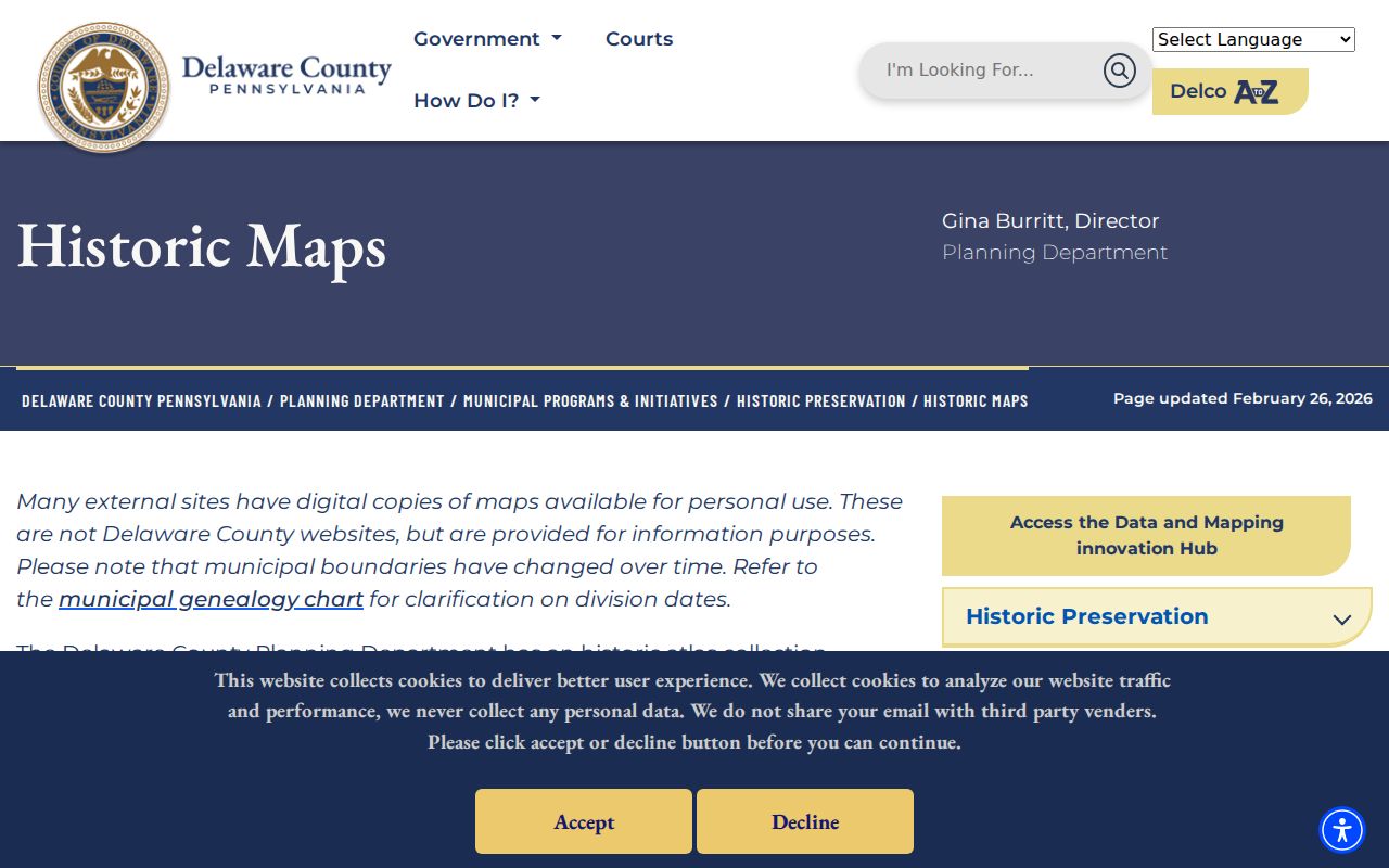
A map can show a lot, street configuration, building footprint, or development change. It cannot establish who was present at a property. Compare its date and street label against a deed legal description and a dated directory or census image.
Municipal boundaries changed as smaller municipalities formed from earlier townships, and postal labels can cross boundaries. If a Delaware County address seems to vanish, try the historic municipality, legal description, cross street, lot, subdivision, or prior party instead of repeating only the modern address.
Delaware County Previous Resident Household Clues
Directories provide the household layer that a deed chain cannot. County Planning’s verified method permits an address-led search in historical directories: leave personal name fields blank, enter Delaware County as the lived-in place, use the house number and street as a keyword, and add a residence year when known. Read an original entry with its title, year, page, printed abbreviations, and community scope. A name-to-address or address-to-listed-person result is a dated clue, not a complete household list.
- Choose the directory volume nearest the address year and confirm its municipality coverage.
- Search a surname, initial, and older street form, or apply the blank-name address-keyword method.
- Preserve the title, date, page, street form, and all source language before drawing a comparison.
- Pair the directory year with the nearest released census image and examine nearby enumerated households as a time-specific clue.
- Use an atlas, Sanborn map, or aerial image to test whether the street, lot, and building setting align.
Released census schedules extend through 1940, and the missing 1890 population schedule leaves a real gap. DCHS holdings include Chester, Media, Aston, Eddystone, Upland, and other municipality-specific runs. The historical collections themselves are detailed on the Delaware County city directory page, so use the actual title rather than treating every community as one shared publication.
Note: A similar street name alone does not establish continuity, especially where lot splits, altered numbering, or municipal changes occurred.
Delaware County Previous Resident Estate Endpoints
When a dated address trail stops, a probate, administration, obituary, cemetery, or veteran-grave record may provide the next research question. The County Archives lists administrations from 1790-1950, named wills from 1789-1944, estate files from 1789-1950, and veteran-grave registration from 1775-2010. Its County Home index covers 1806-1929 and includes stated gaps. These sources can identify a date, estate, residence of record, or historical community connection, but a result must remain tied to its series and date.
The Register of Wills guest-search guidance provides free searches for estate and marriage-record existence. It does not display document images. Relevant copies can be ordered, and the office also has a public-access kiosk. The County Archives offers online indexes plus in-person and mail access, responds to email requests, and does not email copies.
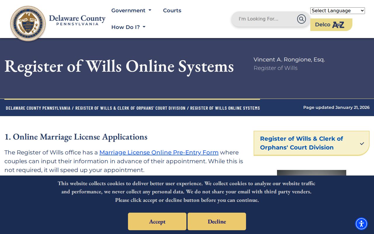
The guest-search image supports an existence-search route, not a declaration about family relationships or a substitute for the underlying probate document.
Lawful use. Use Delaware County address-history material for family history, estate questions, or a property’s past. Do not use historical records to follow, harass, or harm a living person.